By Sonja Panozzo, West Coast Conservation Land Management Program Restoration Technician
October 12
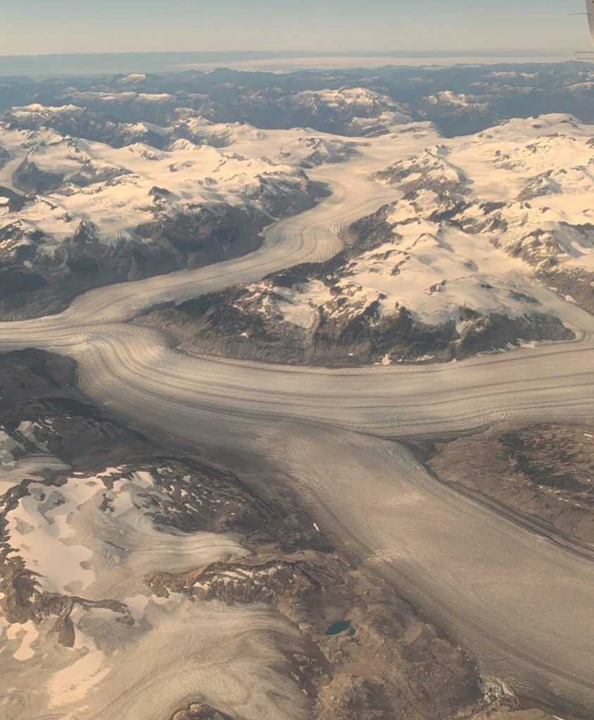
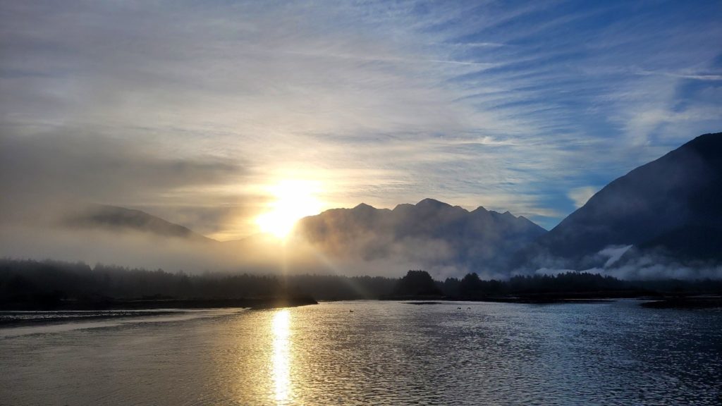
Waking up from my airplane nap, I look out the small window and realize we must be nearing the Bella Coola Valley. Below us, a glacier spills over multiple mountain valleys and the rugged peaks of the Coast Mountains are all I can see in every direction. My eyes don’t leave the window for the rest of the flight as we wind our way down to the airport. This week Steve, the West Coast Conservation Land Management Program (WCCLMP)’s Restoration Biologist, and I will be working in the Bella Coola Estuary, located in the Nuxalk First Nation’s traditional territory. We have already been travelling for a few hours – from Nanaimo to Courtenay and through Vancouver airport – so I’m looking forward to being outside in the fresh air and the rare October sunshine.
The moon has little consideration for a normal 9-5 workday, so our fieldwork starts in the evening to hit the low tide window. Steve and I meet up with Geneviève, the Monitoring Coordinator with Central Coast Indigenous Resource Alliance (CCIRA) near the estuary just as the sun is setting. We take advantage of the dropping tide to access a couple of our dataloggers that are installed out in the estuary. It’s never easy traversing all the tidal channels and mudflats when the sun is out, but the twilight causes us all to move slower and stumble a bit more often. By the time we get to our second datalogger, I have to turn on my headlamp to see our equipment. With a few months of data successfully downloaded, we are picking our way back to the trucks through the dark.
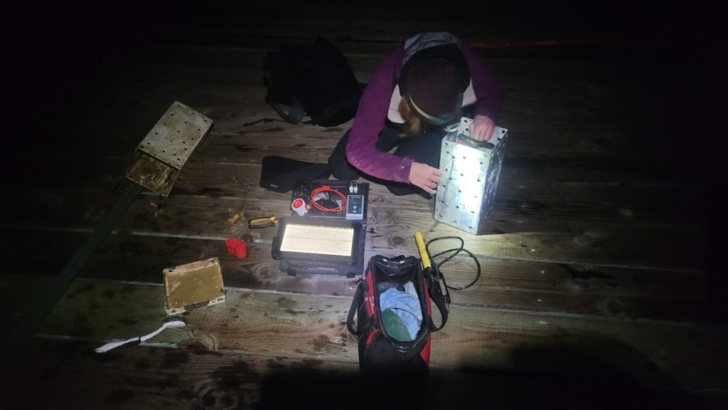
Steve and I continue on to the docks, where our marine turbidity logger is bolted to a piling in the harbour. This logger needs to stay submerged at even the lowest tides to properly record turbidity at the mouth of the estuary, where fresh and salt water mix. The tide is even lower now, and we are hoping that the bolts holding the logger to the piling are high and dry. It is a bit of an obstacle course to get our borrowed skiff over to the logger. The whole time we are serenaded by the growling and belching of harbour seals – obviously not very happy with this disturbance to their evening. Removing bolts from the edge of a zodiac is never graceful, but we download and replace our turbidity logger with a fresh one without a hitch.
October 13
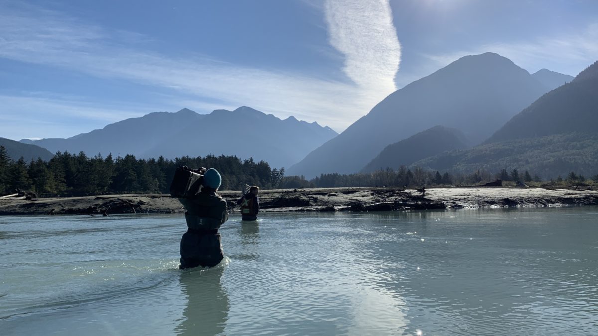
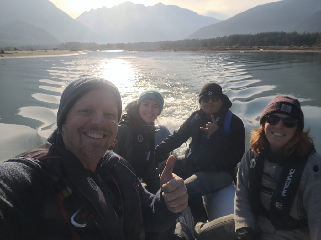
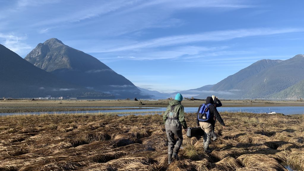
The next morning we meet up with Nuxalk Guardian Watchmen John and Clayton, as well as Geneviève. The five of us head out on the Guardian boat to the north side of the estuary, then Clayton, Geneviève, Steve and I all load into the skiff to make our way into the estuary.
The Bella Coola is such a large river, that even at the lowest flows we can’t walk across the main channel to this side of the estuary. Despite it being so close to town, it feels pretty wild. As Clayton steers the skiff through opaque turquoise water, Steve spots a dark four-legged figure running along the shoreline. At first we think it could be a grizzly bear, but its loping walk is definitely more like that of a wolf!
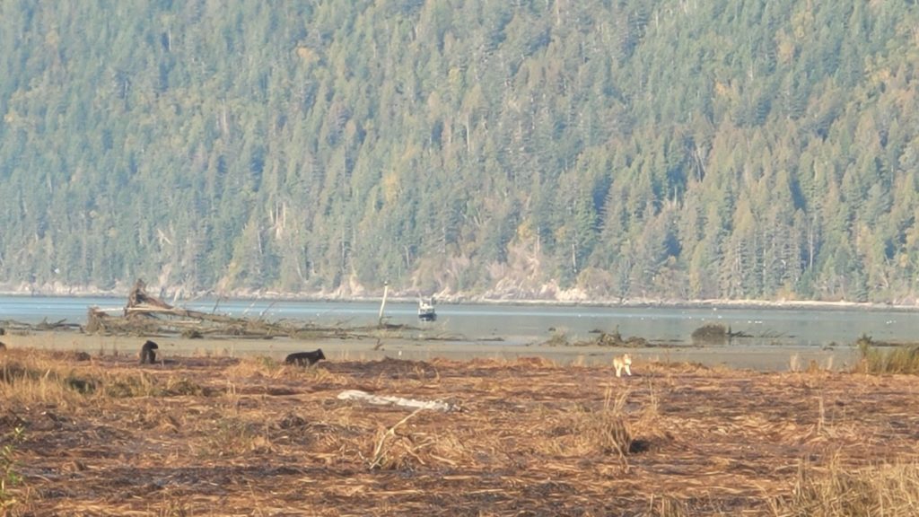
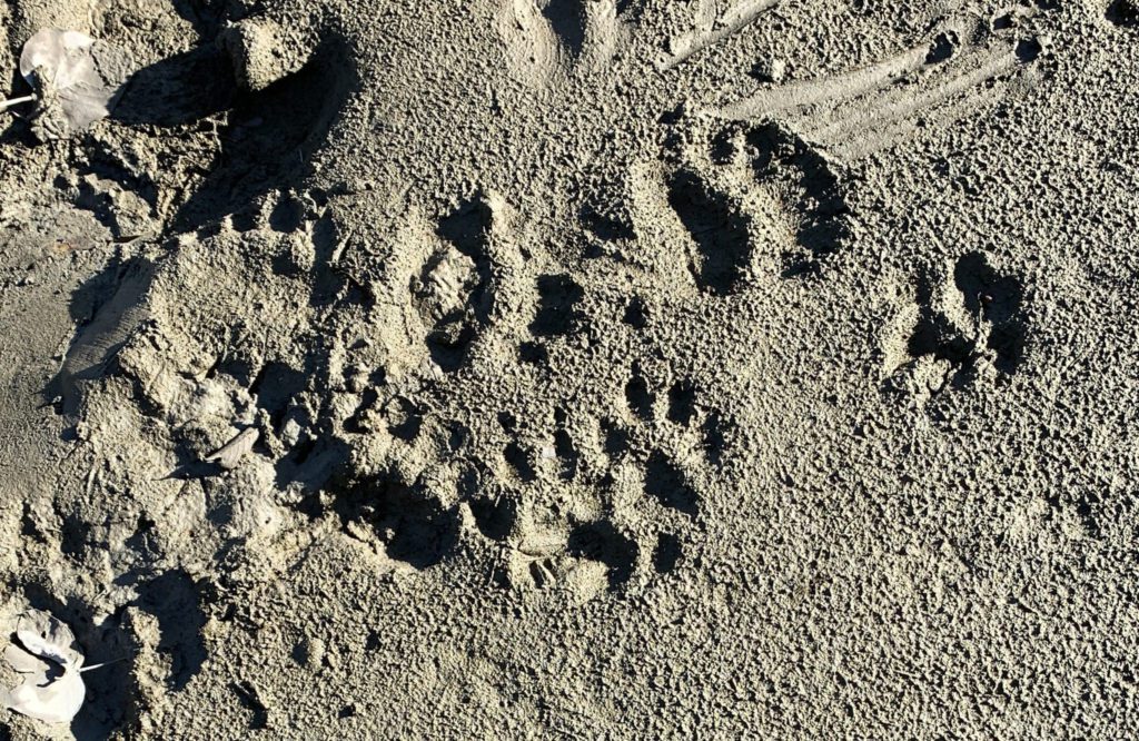
The wolf is nowhere to be seen when we reach the shore, and we walk into the marsh to continue our data collection. Just as we are headed back to the skiff, I hear “Wolf!” and look up to see not just one, but a whole pack casually loping along the shoreline just in front of us. There are 6 in total, and two of them are smaller and have the floppy walk of pups. One large black wolf stops and stares straight at us for a few seconds, but for the most part they are unbothered and disappear single file into the shrubs on the side of the estuary. We return to the skiff and continue further into the middle of the estuary to continue our data collection. While we don’t see the wolves again, we are constantly reminded of both them and the grizzlies that live here, by the highway of tracks that follow all the tidal channels.
October 14
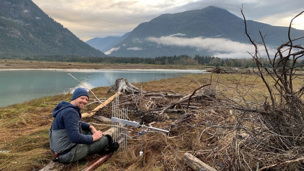
The next morning, Steve and I wake up early to collect measurements from the last two rSETs on the south side of the estuary. These rSETs (rod surface elevation tables) have been installed in the sediment of the estuary a few years ago; we return every year to attach our reader arm to them and collect measurements that will show how the elevation of the marsh is changing over the years, and contribute to Marsh Resilience to Sea-level Rise (MARS) metrics. Without the reader arm attached, the rSETs look like no more than a small aluminum tube with legs sticking out of the surface of the sediment. Even in the fall, they are dwarfed by the sedges and other salt marsh vegetation.
We have more trouble than usual finding the second rSET. High river flows from this past spring pushed a lot of debris down the river, and some of those logs and branches have settled right on top of our monitoring equipment. We complete the measurements that we can, while documenting the areas where the debris has impacted the measurement area, preventing measurements from being taken. This debris will be washed further downstream during subsequent high water events, and is a natural part of estuary dynamics.
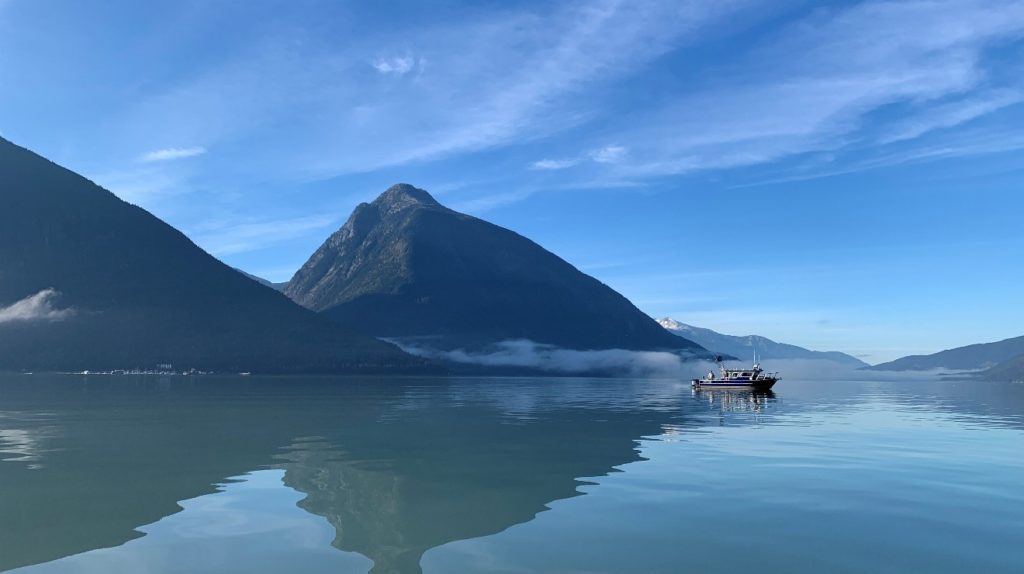
With our measurements complete, we continue on to the harbour and meet up with Nuxalk Guardians John, Charles, Clayton, and Guardian Manager Ernie. We head out on the Guardian boat to collect water quality measurements from a set of sample points in the marine environment, just outside the estuary mouth. As we aren’t too constricted by the tides today, we head into town for lunch with the whole crew – a chance to catch up with everyone and share a meal together.
After lunch we continue on to complete the rest of our water quality survey points. These include sites up river, as well as in tidal channels in the estuary. The complete water quality survey will give an idea of how sediment and salinity is distributed across the whole estuary.
As I pack my bag later that evening, I am looking forward to going home but part of me secretly hopes for some clouds that could delay our flight. My wish isn’t granted though, and we are once again granted clear weather and amazing views as our plane climbs up out of the valley and flies south out of Nuxalk territory.